Izu Oshima by bus
Oshima Sunset Palm Line by Bus Guide
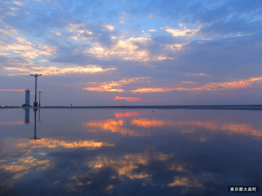
Sunset Palm Line is the west-side coastal route near Motomachi Port where an Oshima bus ride can turn into a short walk, a run, or a cycling plan. The best version is simple: start with the official bus stop, choose a distance you can safely finish, and keep the return plan honest.
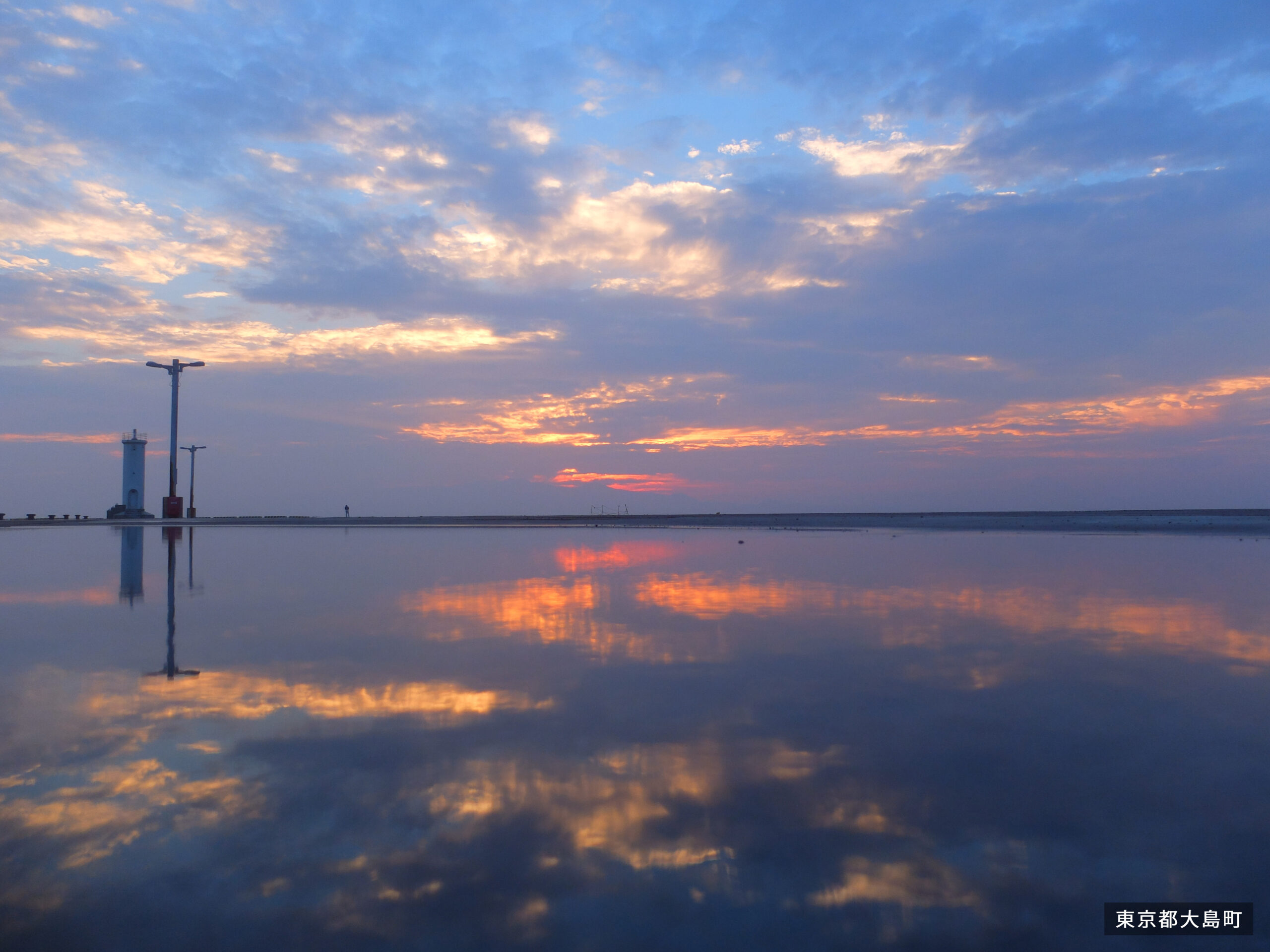
Quick Answer
Oshima Bus’s sightseeing page lists Sunset Palm Line on all lines. The stop is Motomachi Port, and the walk from the stop is listed as 5 minutes. The same official entry describes it as a west-side coastal cycling road that is also popular for running and walking.
For a first visit, treat Motomachi Port as the access anchor. Walk a manageable section, turn back while you still have daylight and energy, and use the current Oshima Bus timetable for any onward or return movement.
What Sunset Palm Line Is
Oshima Bus describes Sunset Palm Line as a coastal route on the west side of the island, connecting the area near Motomachi Port to Nodahama over about 10 km. That length makes it more than a quick photo stop if you try to complete it end to end.
The route can work for walkers, runners, and cyclists, but those are different plans. A walker might use it as a relaxed out-and-back near Motomachi. A runner may need water and timing. A cyclist needs weather, wind, bike handling, and return logistics to line up.
Bus Planning
Use Oshima Bus’s route-bus page for current details. As checked on August 21, 2026, the posted timetable period was July 1 to September 30, 2026, and the page linked the route-bus timetable and island map, route map, fare table, and riding guide. Use those official files for actual departure times.
Because Motomachi Port is a central bus point, Sunset Palm Line can pair well with port-area plans such as Marine Market, Gojinka Onsen, Hama-no-yu, or a simple ferry-waiting walk. The Oshima Bus sightseeing entry also notes that popular hot-spring facilities are near Naganehama, close to the starting area.
Cycling And Bike Notes
If you are cycling, decide whether the bike is already with you, rented nearby, or being carried by bus. Oshima Bus’s FAQ says folded bicycles in bike bags can be loaded for an additional 500 yen, but it also warns that busy times and bus type may prevent carriage.
That means a bike plan should not depend on last-minute bus loading. Confirm your rental, distance, weather, daylight, and return route before committing to a longer ride.
Weather, Light, And Safety
A route named for sunset is still a weather-dependent plan. Cloud, wind, sea spray, heat, and darkness can all change the experience. If you are walking near sunset, carry a light and leave enough time to get back to Motomachi Port without rushing.
Do not block the path for photos, and keep to the side when runners or cyclists pass. If wind is strong, shorten the route rather than forcing the full coastal section.
Fare And Payment Planning
Oshima Bus’s official route-bus page listed one-day passes at 2,500 yen for adults and 1,250 yen for children, and two-day passes at 3,800 yen for adults and 1,900 yen for children, valid on all routes, as checked on August 21, 2026. A pass may make sense if Sunset Palm Line is one piece of a wider island day.
Oshima Bus’s FAQ says Suica and PASMO are not accepted, while cash and PayPay are accepted. The FAQ also says on-bus change is available for 50 to 500 yen coins and 1,000 yen notes. Carry small cash, especially if your plan includes a bus transfer after a walk.
Before You Go Checklist
- Check whether your ship or bus day is centered on Motomachi Port.
- Use the current Oshima Bus timetable for any return or onward ride.
- Choose a walk, run, or ride distance before starting.
- Check wind, rain, heat, and daylight, especially near sunset.
- Confirm bicycle logistics if your plan depends on riding or carrying a bike.
Sources
- Oshima Bus sightseeing information
- Oshima Bus route-bus timetables, maps, fares, and passes
- Oshima Bus FAQ
- Oshima Town official website
- Izu Oshima Photo Studio source image and terms
Editorial disclosure: This guide was prepared from official transport, town, and source-image pages checked on August 21, 2026. Bus routes, timetables, fares, payment rules, bicycle carriage, facility hours, weather, daylight, and route conditions can change, so check official pages before travel.