Short answer
Miyakejima Airport is a compact volcanic-island airport for aviation fans who want a Chofu propeller-flight branch, not a classic observation-deck visit. Tokyo Metropolitan Government records a 1,200m x 30m runway, no ILS, and small-aircraft apron space for Dornier 228-class aircraft, while the airport-services page says there is no observation deck and no food or retail facility. Build the day around the airport, Chofu flights, Ako/Miike/Igaya port logistics, village bus, taxi, rental-car planning, Volcano Experience Trail, Izu-misaki Lighthouse, Tairo Pond, Akakokko Station, weather, sea conditions, and volcanic-area safety.
Last checked: August 21, 2026. Flight operations, aircraft type, fares, reservations, airport services, airport hours, ferry sailings, arrival port, helicopter schedules, village bus timetables, taxi availability, rental inventory, volcanic gas and restricted-area notices, road conditions, trail conditions, ocean conditions, weather, fog, wind, and typhoon disruption can change. Always confirm current details on official airport, airline, ferry, village, tourism, transport-status, and weather pages before travel.
Why Miyakejima works for aviation fans
Miyakejima Airport is interesting because it is not an easy deck-and-cafe airport. Tokyo Metropolitan Government’s airport-services page says the airport has no observation deck, no tourist information center, no lounge, no baggage storage, no food or retail facility, and no rental-car desk. That makes it a planning airport: the aviation value comes from the route, the runway, the small terminal, and how the airport connects with a volcanic island.
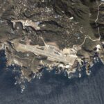
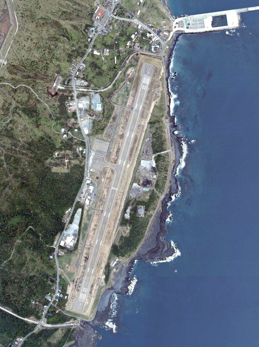
The official airport-use rules record a 1,200m x 30m runway, no ILS, and apron space for DHC-8-Q300-class aircraft, AS365-class helicopters, and Dornier 228-class aircraft. Tokyo’s Miyake Branch history page says the runway was extended to 1,200m on November 15, 1976, the Tokyo-Miyakejima regular air route was suspended after the 2000 eruption activity, and New Central Airservice opened the Chofu-Miyakejima route on April 2, 2014 with 19-seat Dornier 228 aircraft and three round trips per day.
Start with realistic airport expectations
Use Miyakejima Airport as a transport anchor rather than a long indoor stop. Tokyo Metropolitan Government lists access from Ako Port by car in about 20 minutes, 53 free parking spaces, two wheelchairs for loan, a step-free route from the terminal entrance to the boarding gate, a multipurpose restroom, a baby bed, and one AED. The Tokyo Sightseeing Accessibility Guide adds that Miyakejima Airport is in the southeastern part of the island, that the terminal interior is step-free, and that the main parking lot sits higher than the terminal, although wheelchair-user parking is available next to the building.
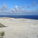
For aircraft watching, stay in public terminal areas and permitted public spaces. Do not use fence lines, service roads, private land, drones, or roadside parking. Because there is no official observation deck, the safest plan is to treat the airport as a short check-in, arrival, departure, and route-context stop, then connect it with island transport and official viewpoints.
Compare air, ship, and helicopter access
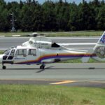
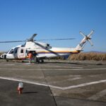
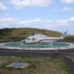
The Tokyo Sightseeing Accessibility Guide says Miyakejima has both air and sea routes: a large passenger ship from Tokyo takes about 6 hours 30 minutes and may use Ako, Miike, or Igaya, while air service from Chofu Aerodrome takes about 50 minutes on a 19-seat propeller plane. Miyakejima Tourist Association also lists Tokai Kisen large passenger ships from Takeshiba, New Central Airservice small aircraft from Chofu, and a daily Tokyo Ai-Land Shuttle helicopter connection.
For a transport-fan trip, the three-port system is the key. The ferry port can be Ako, Miike, or Igaya depending on sea conditions and operation decisions, while the airport sits near Tsubota in the southeast. UMISORA is useful for checking current air, ship, and helicopter status, but always click through to the operator pages before buying tickets or building a same-day connection.
Plan island movement before arrival
Miyakejima is large enough that movement matters. The Tokyo Sightseeing Accessibility Guide lists village buses, cabs, rental cars, rental bikes, and rental bicycles. It says the village bus runs clockwise and counterclockwise around Ako, Tsubota, Kamitsuki, Izu, and Igaya, and notes that buses can be used for island sightseeing when the timetable works. The tourist association FAQ says the nearest bus stop to the airport is Airport-mae, and also says the airport has no eating facility, only drink vending machines.
A rental car gives the most control for connecting the airport, ports, lodging, Volcano Experience Trail, Izu-misaki Lighthouse, Tairo Pond, Akakokko Station, hot springs, and food stops. A bus plan can work when it follows the current timetable. A taxi plan should include return movement. Bicycle and motorbike plans need caution for slopes, wind, rain, darkness, luggage, volcanic-area notices, and road conditions.
Add one volcanic-island branch
GO TOKYO describes Miyakejima as a volcanic sanctuary for birds, hikers, and swimmers, and notes that the center of the island near Mt. Oyama includes a restricted area. Its visitor ideas include the Volcano Experience Trail, Izu-misaki Lighthouse, Tairo Pond, Akakokko Station, and Furusato-no-Yu Hot Spring. Tokyo Islands tourism also frames Miyakejima through active volcanic landscapes, Nippana Shinzan, Tairo Pond, birdlife, and outdoor activities.
Choose one branch for a first aviation day. A transport branch compares Chofu, Miyakejima Airport, Ako, Miike, Igaya, and Takeshiba. A volcanic-landscape branch uses the Volcano Experience Trail or coastal geosites with current safety guidance. A bird branch goes toward Tairo Pond and Akakokko Station. A low-risk branch keeps the plan around the airport, port, village bus, food, hot spring, and lighthouse context.
Simple first-time plan
| Step | What to do | Why it works |
|---|---|---|
| 1 | Check New Central Airservice, Tokai Kisen, Tokyo Ai-Land Shuttle, UMISORA, airport services, village bus, taxis, rentals, weather, sea conditions, volcanic gas, and restricted-area notices | Miyakejima plans depend on air, sea, port, road, weather, and volcano-related safety |
| 2 | Use the airport as a short aviation anchor: 1,200m runway, no ILS, Chofu propeller flights, terminal services, free parking, and no observation deck | The airport is specific and useful, but not a long deck visit |
| 3 | Decide your movement base: airport, Ako Port, Miike Port, Igaya Port, village bus, taxi, rental car, rental bike, or bicycle | The arrival port and local transport shape the whole day |
| 4 | Add one branch: Volcano Experience Trail, Izu-misaki Lighthouse, Tairo Pond, Akakokko Station, hot spring, port comparison, or village food stop | One branch keeps the trip resilient |
| 5 | Leave buffers before flight departure, ship boarding, helicopter transfer, rental return, bus connection, sunset, fog, wind, rain, and bad-weather changes | Island travel rewards spare time |
Where this fits in the transport hub
Use this as the Miyakejima branch of the Japan Transport Fan Travel Guide. It pairs naturally with Oshima, Niijima, Kozushima, Hachijojima, Chofu-related island flights, Fukue, Tsushima, Iki, Tanegashima, Yakushima, and other island-airport guides. Miyakejima stands out because the airport has no observation deck, the Chofu route uses small propeller aircraft, the ferry can involve three different ports, and volcanic-island safety can shape even a transport-focused day.
Photo credit
Featured image: Miyakejima airport aerial photograph on Wikimedia Commons, uploaded by Bruno-plus, CC BY-SA 4.0. The file is made based on National Land Image Information (Color Aerial Photographs), Ministry of Land, Infrastructure, Transport and Tourism. Cropping or resizing may be applied for site display. The image is used in editorial transport-travel-guide context and does not imply endorsement by the uploader, MLIT, GSI, Tokyo Metropolitan Government, Miyake Village, Miyakejima Airport, airport operators, airlines, ferry operators, tourism organizations, or Wikimedia.
Sources
- Tokyo Metropolitan Government: Miyakejima Airport services
- Tokyo Metropolitan Government: Miyakejima Airport use rules
- Tokyo Metropolitan Government Miyake Branch: Miyakejima Airport overview
- Tokyo Sightseeing Accessibility Guide: Miyakejima traffic
- Miyakejima Tourist Association: access and island transport
- Miyakejima Tourist Association: frequently asked questions
- New Central Airservice official site
- New Central Airservice: timetable and fare page
- Tokyo Treasure Island Traffic Information: Miyakejima Island
- UMISORA: Miyakejima operation status
- Tokyo Islands tourism: Miyakejima
- Destination Tokyo Islands: Miyakejima
- GO TOKYO: Miyakejima Island
- Wikimedia Commons image file and license record
Editorial disclosure: This is an independent planning guide. It is not affiliated with Tokyo Metropolitan Government, Miyake Village, Miyakejima Airport, New Central Airservice, Toho Air Service, Tokai Kisen, taxi operators, rental companies, Miyakejima Tourist Association, Tokyo Islands, GO TOKYO, MLIT, GSI, Wikimedia, or the image uploader.