Short answer
Yoron Airport is a rewarding small-island airport day for aviation fans because Kagoshima Prefecture’s official service page lists an observation deck on the airport terminal rooftop, while the airport page gives a compact 1,200m runway, sea-edge location, and strict parking rules. Use the rooftop deck and terminal as the public aviation anchor, then prearrange one island branch by rental car, taxi, driver guide, hotel transfer, ferry-port check, or tide-aware beach plan.
Last checked: August 21, 2026. Flight operations, airline schedules, rooftop observation-deck access, terminal services, parking rules, rental-car inventory, taxi availability, hotel transfers, bus timetables, ferry port calls, beach and tide conditions, marine activity safety, weather, and typhoon disruption can change. Always confirm current details on official airport, airline, transport, tourism, ferry, tide, and weather pages before travel.
Why Yoron works for aviation fans
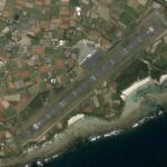
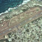
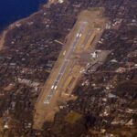
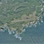
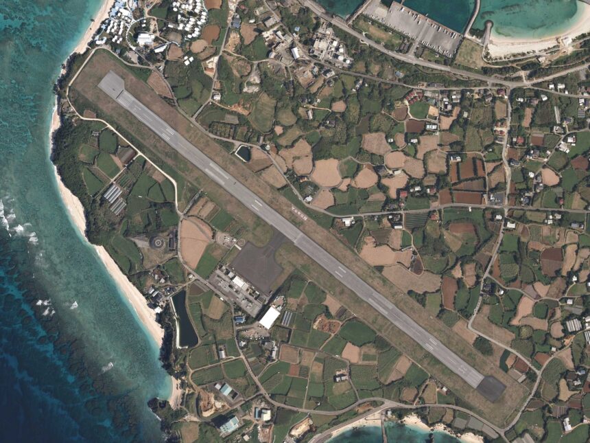
Yoron Airport sits on the western edge of Yoron Island facing the sea, which makes it feel different from a city airport even before you leave the terminal. Kagoshima Prefecture lists the airport as managed by the prefecture, located in Yoron Town, and built around a 1,200m x 30m runway with apron space for two propeller-aircraft positions.
The key fan-friendly point is simple: the official services-provided page lists an observation deck on the rooftop of the airport terminal building. That gives visitors a safe first stop for aircraft watching. Use that public deck instead of road shoulders, fences, service roads, private land, or any place that interferes with island traffic or airport work.
Start with the rooftop deck and terminal
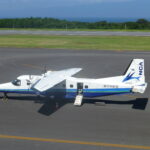
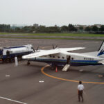
Begin with the airport itself. The services page lists passenger facility hours, summer and winter parking usable times, parcel delivery, baggage storage, a meeting room, wheelchair rental through the Amami Aviation Yoron Airport office, free wireless LAN, first-floor food and retail shops, an outdoor smoking area, and the terminal rooftop observation deck. It also lists Japan Air Commuter and Ryukyu Air Commuter as airlines serving routes to Kagoshima, Amami, and Naha, while directing readers to airline pages for schedules.
Those details are useful, but they are not permanent promises. If your plan depends on baggage storage, food, Wi-Fi, wheelchair rental, a meeting room, or the rooftop deck, confirm the current status before arrival. For parking, note that the airport page lists 91 spaces while the services page lists 90 spaces; use exact capacity only after checking current airport guidance.
The airport and port are the transport hook
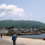
Yoron Airport is especially interesting because the services page places it only about 3 minutes by car from Yoron Port’s Tomori district and about 10 minutes by car from Yoron Town Hall. The official Yoron Port page adds the important ferry context: Yoron Port consists of Tomori and Chabana districts, and regular ferries use those districts depending on sea conditions.
That makes Yoron a good air-and-sea transport day, but only if you check the same-day reality. Do not assume the ferry uses the district you expected. Discover Kagoshima’s traveler information also warns visitors to confirm port and departure timetable because port and time could change.
Prearrange island movement
The official Yoron Island tourism guide gives the most important local transport warning: buses and taxis do not serve Yoron Airport or Yoron Port directly. It recommends reserving a rental car, taxi, driver guide, or confirming accommodation transfer before coming to the island. That single point should shape the whole article: do not land first and solve movement later unless your plan is intentionally terminal-only.
Yoron is small, but small does not mean walkable for every itinerary. The tourism guide describes the island as about 23.7km around and about 60 minutes by car around the island, while also warning that walking can take time. It lists rental cars, bicycles, motorcycles, taxis, public buses, substitute drivers, and driver guides, and notes that taxi dispatch can take time. Choose one movement method before travel.
Beach and tide branch
JNTO describes Yoron as part of Amami Gunto National Park and highlights clear waters, watersports, and Yurigahama, a tide-dependent beach off the Okaneku Beach coastline that appears only during low tide. That can be a memorable add-on, but it is not a casual fixed stop. Tide timing, weather, sea conditions, local operator guidance, and return transport all matter.
Discover Kagoshima’s traveler information gives a broader safety reminder: depending on weather, time, and place, the tide flow can be fast, so swimmers should be careful. For an aviation-fan day, keep the beach branch modest unless you have current local guidance and enough time between flights, ferries, and hotel transfers.
Simple first-time plan
| Step | What to do | Why it works |
|---|---|---|
| 1 | Check flight status, deck access, terminal services, parking, prebooked transport, ferry port, tide, weather, and one island branch | Yoron plans can shift with sea and weather conditions |
| 2 | Use the rooftop observation deck and public terminal areas first | They give the day a safe official aviation anchor |
| 3 | Choose one branch: Tomori or Chabana port logistics, town, rental car, taxi, driver guide, hotel transfer, or tide-aware beach visit | One branch protects your return window |
| 4 | Leave buffers before flights, ferries, beach plans, and transfers | Small-island transport and sea conditions need room to move |
Where this fits in the transport hub
Use this as the Yoron branch of the Japan Transport Fan Travel Guide. It pairs naturally with Amami, Tokunoshima, Okinoerabu, Naha, and other island-airport guides, but Yoron stands out because the airport, ferry port, rooftop deck, and tide-sensitive beach planning all sit close together in one compact transport day.
Photo credit
Featured image: Yoron airport aerial photograph, author listed as Ministry of Land, Infrastructure, Transport and Tourism, made based on National Land Image Information (Color Aerial Photographs), Ministry of Land, Infrastructure, Transport and Tourism, via Wikimedia Commons, CC BY-SA 4.0. Cropping or resizing may be applied for site display, and resulting image derivatives remain under compatible share-alike terms. The image is used in editorial transport-travel-guide context and does not imply endorsement by MLIT, Kagoshima Prefecture, Yoron Airport, airport operators, airlines, tourism organizations, Wikimedia, or the uploader.
Sources
- Kagoshima Prefecture: Yoron Airport
- Kagoshima Prefecture: operating rules for Yoron Airport
- Kagoshima Prefecture: services provided by Yoron Airport
- Yoron Island official tourism guide: on-island transport
- Discover Kagoshima: Yoron traveler information
- JNTO: Yoron Island
- Yoron Town: island access
- Kagoshima Prefecture: Yoron Port
- Wikimedia Commons image file and license record
Editorial disclosure: This is an independent planning guide. It is not affiliated with Kagoshima Prefecture, MLIT, Yoron Airport, Japan Air Commuter, Ryukyu Air Commuter, Yoron Island Tourism Association, Discover Kagoshima, JNTO, ferry operators, bus operators, taxi operators, rental-car companies, marine activity operators, Wikimedia, or the image uploader.